Evaluation of a barrier-island breach created by Hurricane Sandy at Fire Island National Seashore, N.Y.
Prepared in cooperation with
- National Park Service
- U.S. Army Corps of Engineers
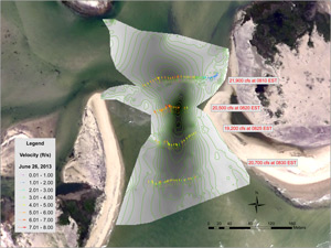
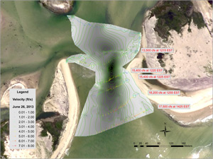
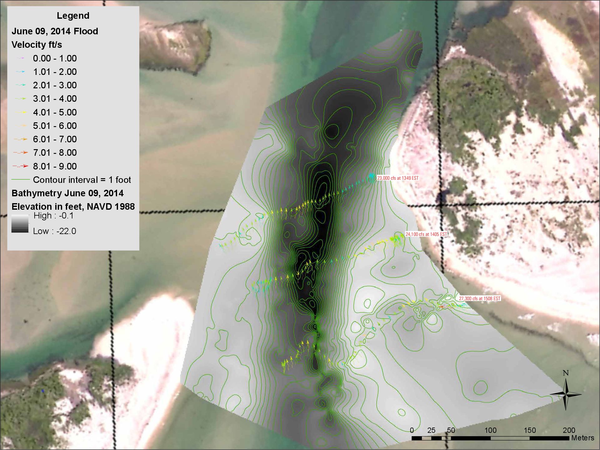
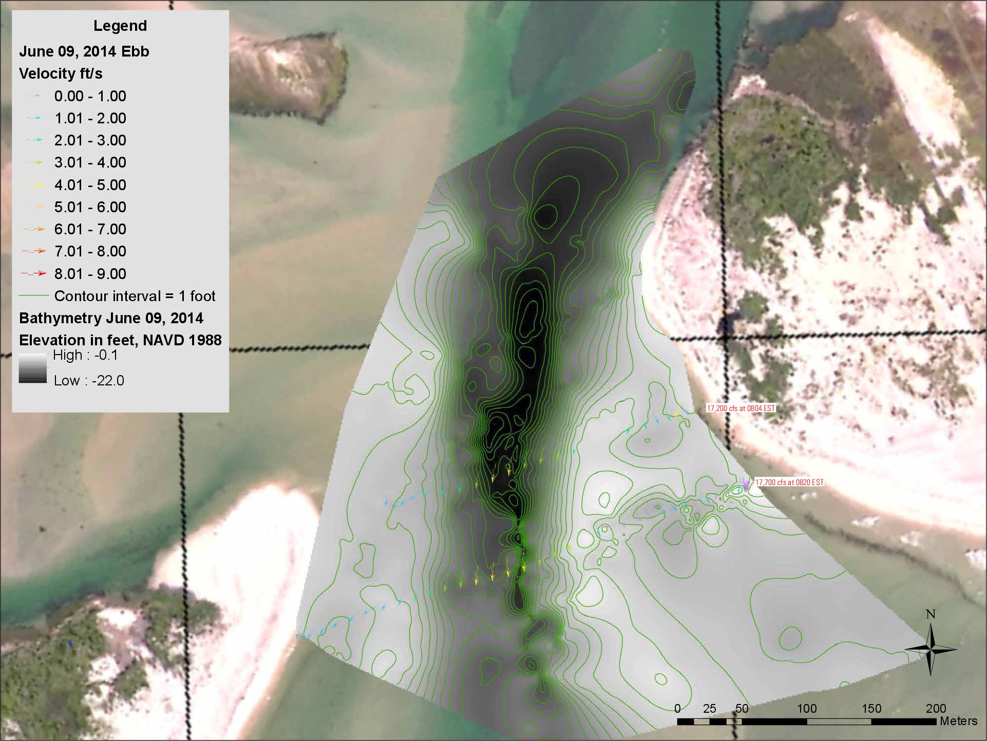
Hurricane Sandy has created three open breaches in the barrier island system along the south shore of Long Island, N.Y. In response, the National Park Service has sought assistance from the U.S. Geological Survey (USGS) New York Water Science Center (NYWSC) to help evaluate the open breach condition in Federal Wilderness near the Old Inlet area of Fire Island National Seashore, N.Y. The NYWSC evaluation is initially focusing on two activities: measurement of water velocities and depths within the Wilderness breach, and collection of water levels within Great South Bay (GSB) adjacent to the breach.
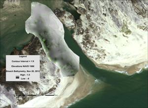
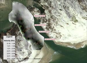
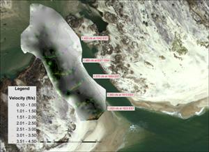
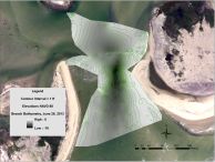
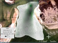
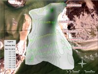
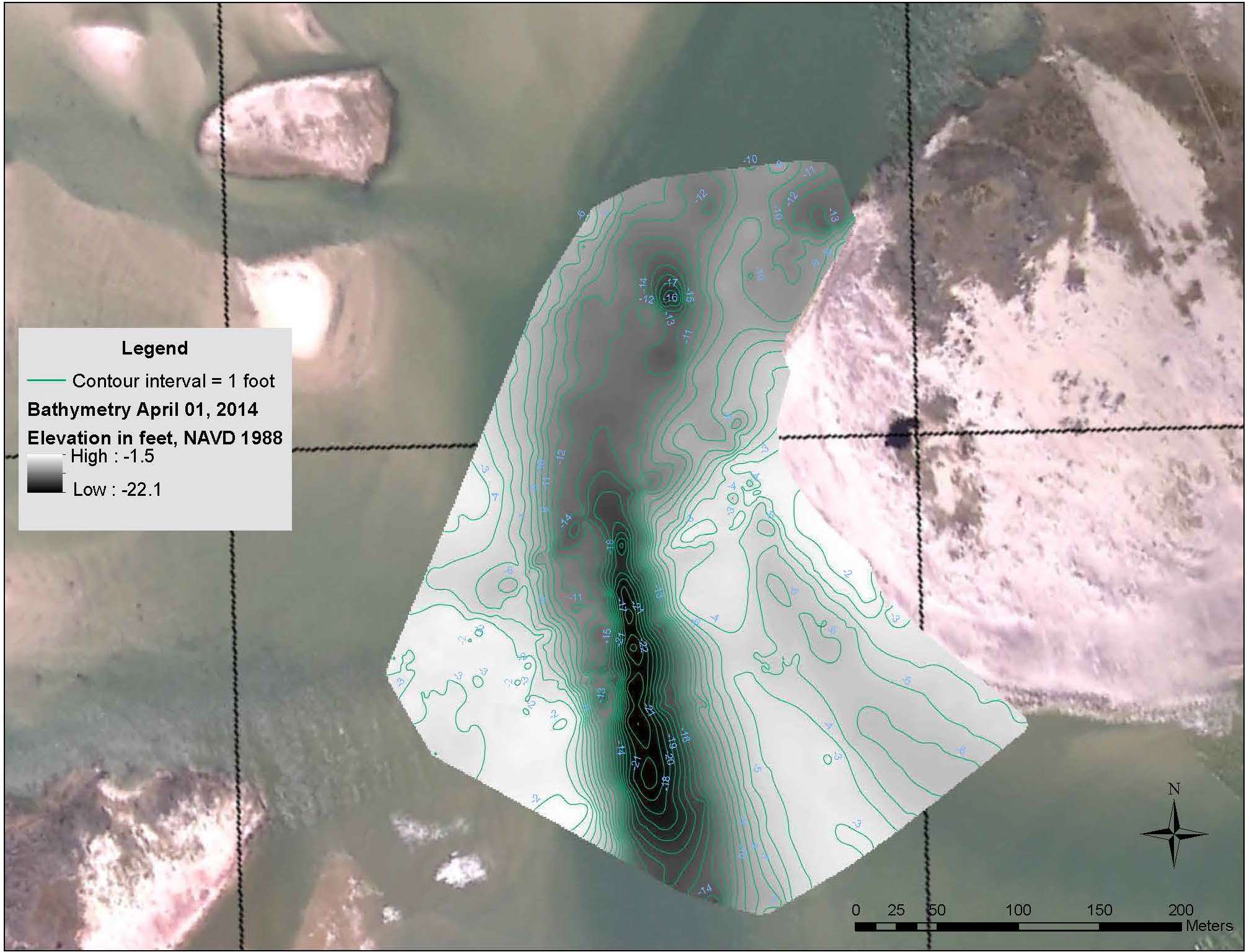
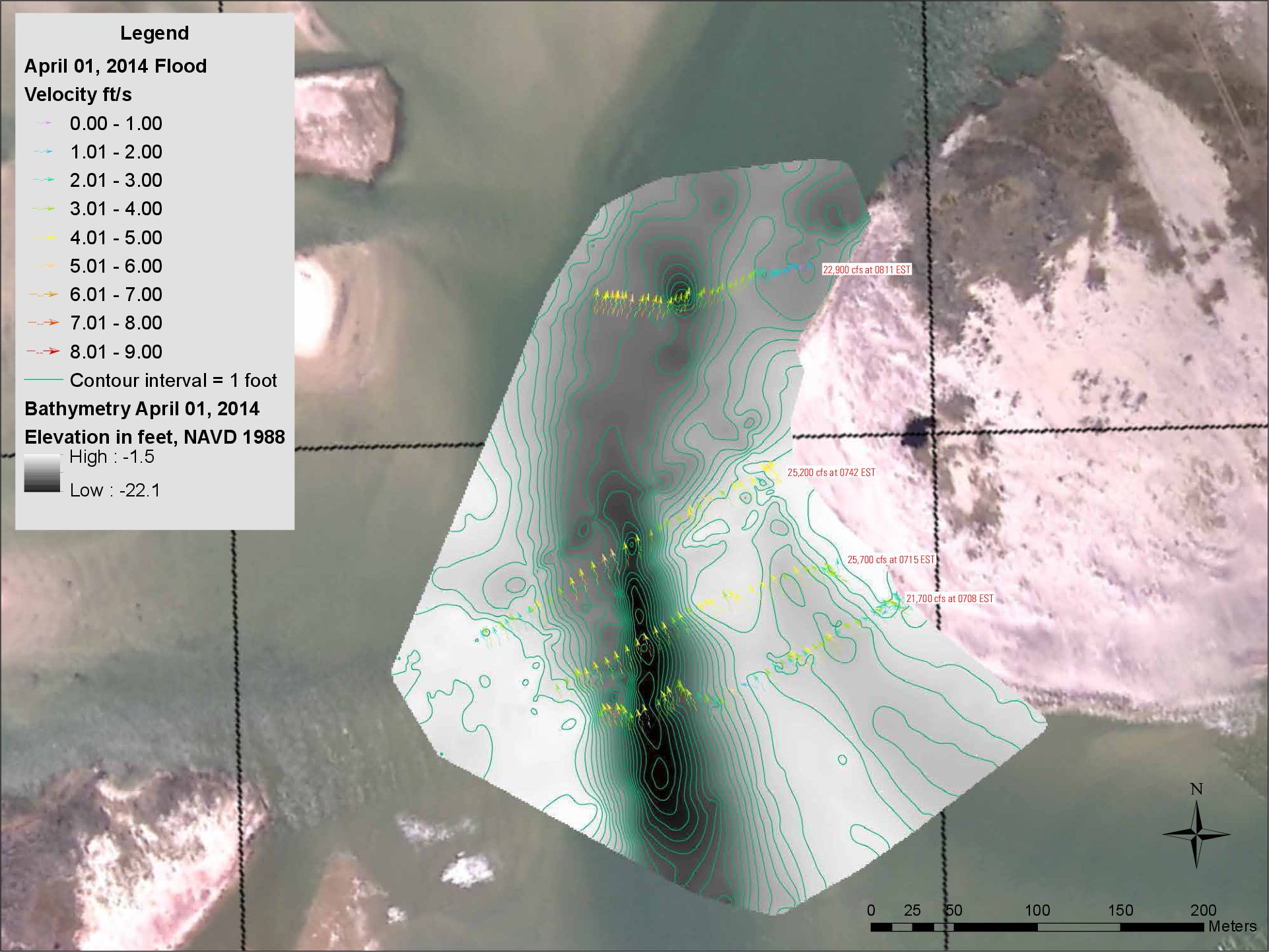
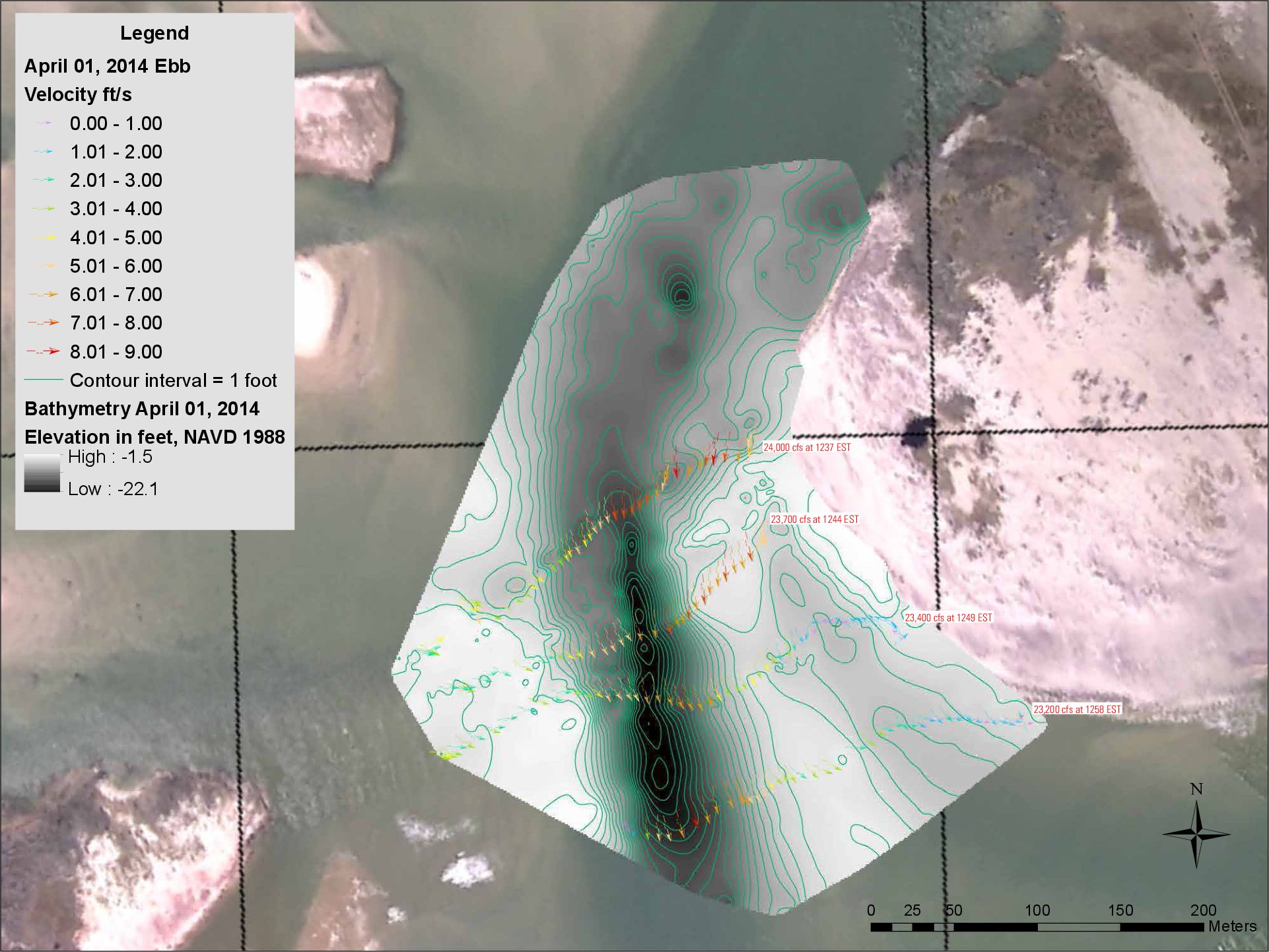
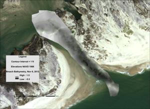
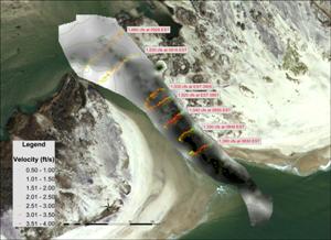
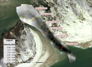
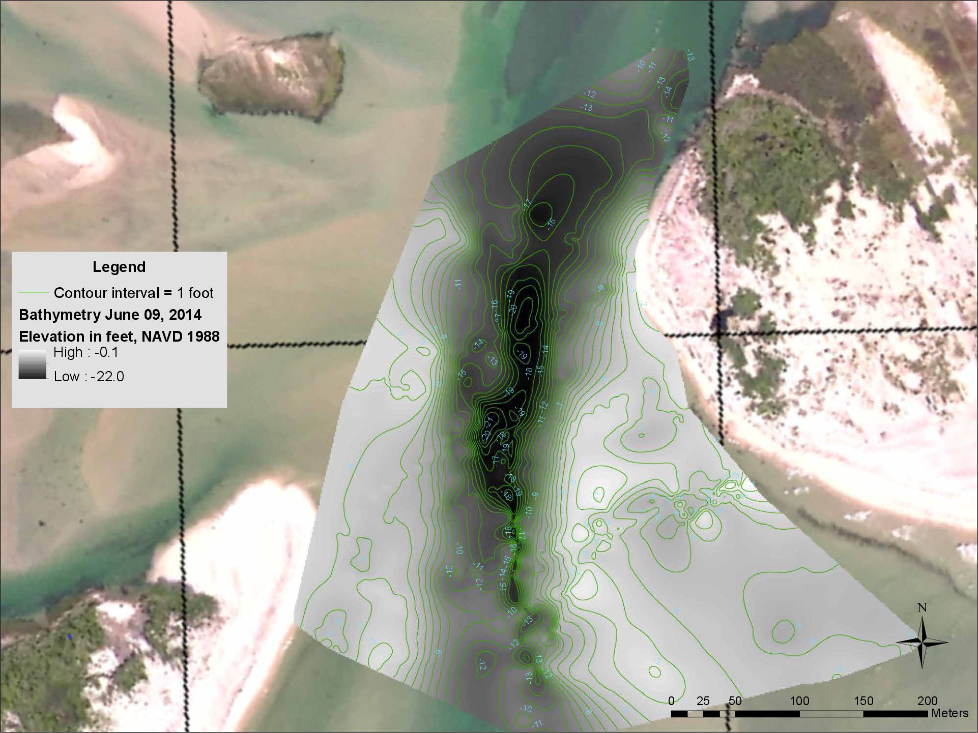
Measurement of water velocities and depths within the Wilderness breach (made on November 6 and November 20, 2012, June 26 and November 13, 2013, and April 1 and June 9, 2014) is being done with a Sontek1 M9 acoustic Doppler current profiler and an Oceanscience1 remotely operated Q-boat 1800P. Water velocities are being collected at a rate of 3.0 and/or 1.0 MHz depending on flow conditions with an accuracy of 0.25% of measured velocity and resolution of 0.001 m/s; water depths are being collected at the same frequency as velocity with a vertical accuracy of 1% and resolution of 0.001 m. Approximately 3 to 5 sections perpendicular to the channel axis are being collected within the breach and geo-referenced using Real Time Kinematic Global Positioning System (RTK GPS) mapping. Another section is being collected perpendicular to the flood tidal channel(s) bayward of the former GSB shoreline. An additional section is being collected roughly parallel and seaward of the former ocean shoreline, as conditions permit. For each deployment, these sections are being measured once during the last 2-3 hours of the incoming ocean tide and a second time during the last 2-3 hours of the outgoing ocean tide. Velocity and depth measurements are being imported into a geographic information system (GIS) and exported as one or more geo-referenced shapefiles. Instantaneous discharge also is being computed from at least one of the breach sections for incoming and outgoing tide conditions.
Collection of water levels within GSB adjacent to the breach generally is being be done with a modified USGS storm-tide sensor. This sensor, which normally collects 7 days of 30-second-interval data, has been reprogrammed to collect about 2 months of routine (6-minute-interval) tide-gage observations. In most cases, two sensors were installed to help ensure that at least one would remain fully operational through the planned, 2-month deployment.
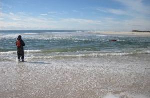
Operating the Acoustic Doppler Current Profiler (ADCP)
near the seaward end of the breach. Click on image to enlarge.
1Use of trade, product, or firm names is for descriptive purposes only and does not imply endorsement by the U.S. Government.
1 of 7 >>
|
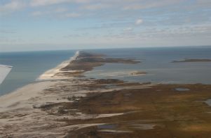
Aerial Photographs of Wilderness breach
View looking north: Atlantic Ocean, Fire Island, and
Great South Bay in distance. Click on image to enlarge.
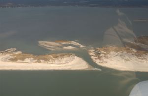
View looking west along Fire Island, Atlantic Ocean on left,
Great South Bay on right. Photo source: USGS XStorms Photography
Related Links:
Hurricane Sandy Information
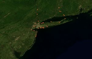
Southeastern New York Coastal Monitoring Sites
|
