 Managing the Water Resources of the Oswego River Basin in Central New York
by William M. Kappel and Betsy F. Landre
U.S. GEOLOGICAL SURVEY
Fact Sheet FS-180-99
ABSTRACT
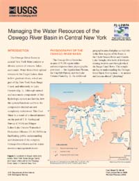
The Oswego River Basin in central New York State contains
a diverse system of streams,
lakes, and canals. Water flows from upland streams to the Finger
Lakes, then to low-gradient rivers, which are part of the New York
State Barge Canal, and ultimately to Lake Ontario. Although natural
and man-made components of this hydrologic system are known, how
the system functions and how the components interact are not
completely understood. This Fact Sheet is a result of a shared
interest on the part of U.S. Geological Survey (USGS) and Finger
Lakes-Lake Ontario Watershed Protection Alliance (FL-LOWPA) in
facilitating public understanding and discussion of the complex
Oswego River Basin and its water-resource-management
issues.
Citation: Kappel, W.M., and Landre, B.F., 2000 (revised 2002),
Managing the Water Resources of the Oswego River Basin in Central New York:
U.S. Geological Survey Fact Sheet FS-180-99, 6 p., 3 figs.
 [Full Report, Acrobat PDF
(293K)]
[Full Report, Acrobat PDF
(293K)]
[an error occurred while processing this directive]
|