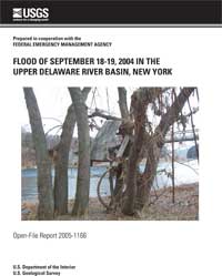
 Flood of September 18-19, 2004 in the Upper Delaware River Basin, New York
by Lloyd T. Brooks
U.S. GEOLOGICAL SURVEY
Open-File Report 2005-1166
ABSTRACT
The interaction between the remnants
of tropical depression Ivan and a frontal boundary in the upper
Delaware River basin on September 18-19, 2004, produced 4 to
more than 6 inches of rainfall over a 5-county area within a
24-hour period. Significant flooding occurred on the East Branch
Delaware River and its tributaries, and the main stem of the
Delaware River. The resultant flooding damaged more than 100 homes
and displaced more than 1,000 people. All of the counties within
the basin were declared Federal disaster areas, but flood damage
in New York was most pronounced in Delaware, Orange, and
Sullivan Counties. Flood damage totaled more than $10 million.
Peak water-surface elevations at some study sites in the basin
exceeded the 500-year flood elevation as documented in
flood-insurance studies by the Federal Emergency Management Agency.
Flood peaks at some long-term U.S. Geological Survey (USGS)
streamflow-gaging stations were the highest ever recorded.
Citation: Brooks, L.T., 2005,
Flood of September 18-19, 2004 in the Upper Delaware River Basin, New York:
U.S. Geological Survey Open-File Report 2005-1166, 123 p.
 [Full Report, Acrobat PDF
( 19M)] --> Note: Large file size, recommend right-click "Save Target As..." to your PC, then double-click on local file to view in Acrobat Reader.
[an error occurred while processing this directive]
|
